Valley at Joyford
Introduction
The photograph on this page of Valley at Joyford by Derek Harper as part of the Geograph project.
The Geograph project started in 2005 with the aim of publishing, organising and preserving representative images for every square kilometre of Great Britain, Ireland and the Isle of Man.

There are currently over 7.5m images from over 14,400 individuals and you can help contribute to the project by visiting https://www.geograph.org.uk
Valley at Joyford
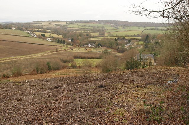
Image: © Derek Harper Taken: 2 Feb 2010
From the track mentioned in Image, a view down the valley containing Joyford Mill, and which continues (with the stream underground for some of the way) to meet the Wye near Lower Lydbrook.
Images are licensed for reuse under creativecommons.org/licenses/by-sa/2.0
Image Location
Latitude
51.817624
Longitude
-2.613611