Bottom Farm
Introduction
The photograph on this page of Bottom Farm by Michael Patterson as part of the Geograph project.
The Geograph project started in 2005 with the aim of publishing, organising and preserving representative images for every square kilometre of Great Britain, Ireland and the Isle of Man.

There are currently over 7.5m images from over 14,400 individuals and you can help contribute to the project by visiting https://www.geograph.org.uk
Bottom Farm
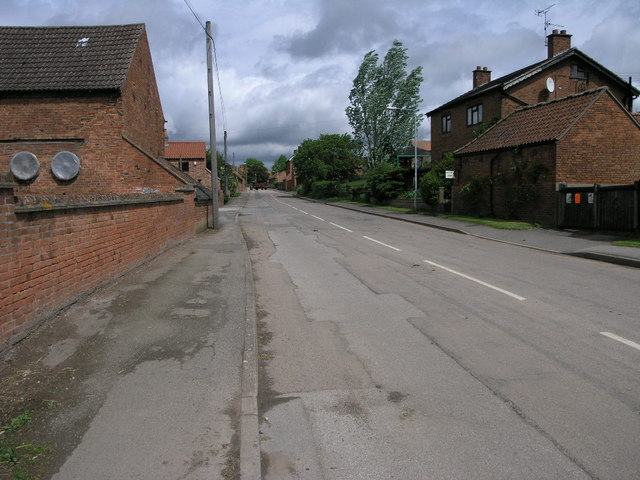
Image: © Michael Patterson Taken: 19 May 2006
Bottom Farm on the right is one of many of the farms in Laxton. Laxton is famous for being the only remaining three field system which was practised widely in mediaeval times. http://www.nottshistory.org.uk/articles/tts/tts1902/autumn/laxton1.htm
Images are licensed for reuse under creativecommons.org/licenses/by-sa/2.0
Image Location
Latitude
53.193367
Longitude
-0.917803