Jubilee Way (A158) Horncastle
Introduction
The photograph on this page of Jubilee Way (A158) Horncastle by Dave Hitchborne as part of the Geograph project.
The Geograph project started in 2005 with the aim of publishing, organising and preserving representative images for every square kilometre of Great Britain, Ireland and the Isle of Man.

There are currently over 7.5m images from over 14,400 individuals and you can help contribute to the project by visiting https://www.geograph.org.uk
Jubilee Way (A158) Horncastle
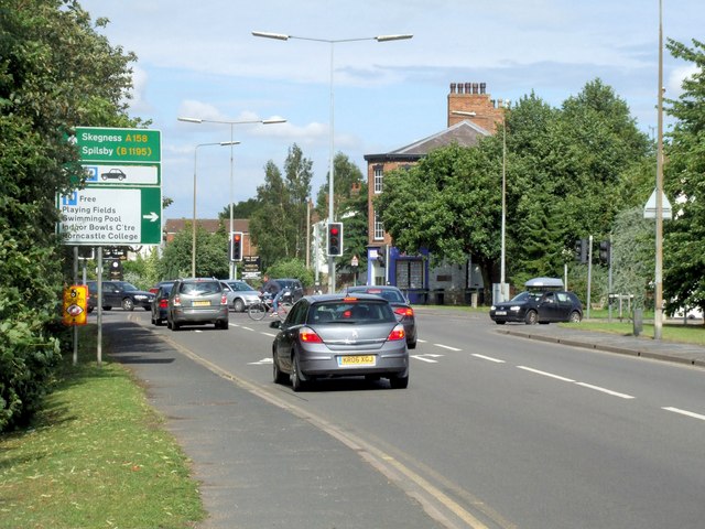
Image: © Dave Hitchborne Taken: 18 Jul 2009
Looking eastwards. Ahead is the crossroads http://www.geograph.org.uk/photo/1669673 with the Bull Ring, East Street and South Street. To the left, but not seen, is the River Waring.
Images are licensed for reuse under creativecommons.org/licenses/by-sa/2.0
Image Location
Latitude
53.207568
Longitude
-0.115901