River Waring, Horncastle
Introduction
The photograph on this page of River Waring, Horncastle by Dave Hitchborne as part of the Geograph project.
The Geograph project started in 2005 with the aim of publishing, organising and preserving representative images for every square kilometre of Great Britain, Ireland and the Isle of Man.

There are currently over 7.5m images from over 14,400 individuals and you can help contribute to the project by visiting https://www.geograph.org.uk
River Waring, Horncastle
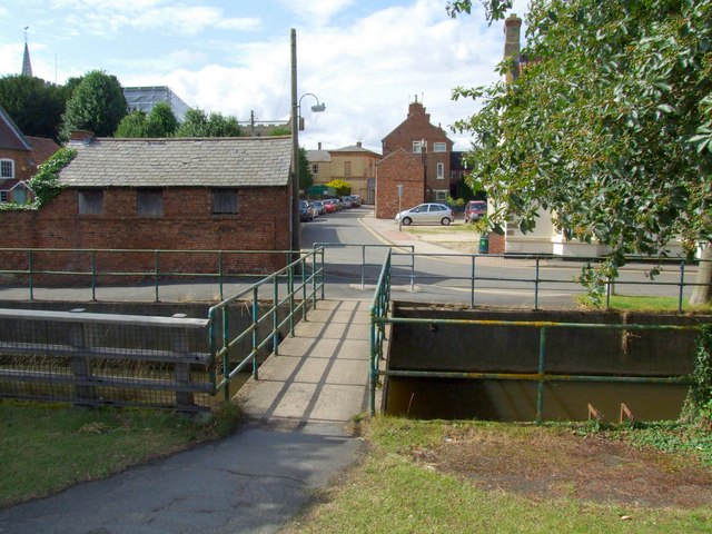
Image: © Dave Hitchborne Taken: 18 Jul 2009
The footbridge over the river links the A158 Jubilee Way with Wharfe Road. The road ahead is Church Lane and the building at the end is this - http://www.geograph.org.uk/photo/564967 and this - http://www.geograph.org.uk/photo/616906 The Punch House.
Images are licensed for reuse under creativecommons.org/licenses/by-sa/2.0
Image Location
Latitude
53.207573
Longitude
-0.1162