Stripeside
Introduction
The photograph on this page of Stripeside by Anne Burgess as part of the Geograph project.
The Geograph project started in 2005 with the aim of publishing, organising and preserving representative images for every square kilometre of Great Britain, Ireland and the Isle of Man.

There are currently over 7.5m images from over 14,400 individuals and you can help contribute to the project by visiting https://www.geograph.org.uk
Stripeside
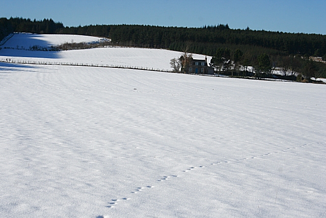
Image: © Anne Burgess Taken: 23 Feb 2010
A stripe is a burn or watercourse, but there is no evidence on the 1:50,000 map of such a feature. I am told on good authority that the access road to Stripeside, which is also a path to the viewpoint on the Hill of Summertown, has a tendency to be very wet; welly boots are advised.
Images are licensed for reuse under creativecommons.org/licenses/by-sa/2.0
Image Location
Latitude
57.621374
Longitude
-2.776109