Brechin Path Network Sign from footpath leading to Dubton Farm, Brechin
Introduction
The photograph on this page of Brechin Path Network Sign from footpath leading to Dubton Farm, Brechin by Alan Morrison as part of the Geograph project.
The Geograph project started in 2005 with the aim of publishing, organising and preserving representative images for every square kilometre of Great Britain, Ireland and the Isle of Man.

There are currently over 7.5m images from over 14,400 individuals and you can help contribute to the project by visiting https://www.geograph.org.uk
Brechin Path Network Sign from footpath leading to Dubton Farm, Brechin
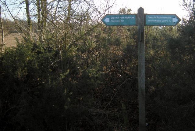
Image: © Alan Morrison Taken: 17 Feb 2010
The sign shows Brechin Castle Centre to the right and Aberlemno Toll to the left. It appears to me that Aberlemno Toll and West Toll are one in the same.
Images are licensed for reuse under creativecommons.org/licenses/by-sa/2.0
Image Location
Latitude
56.729818
Longitude
-2.67723