Hallyards
Introduction
The photograph on this page of Hallyards by Anne Burgess as part of the Geograph project.
The Geograph project started in 2005 with the aim of publishing, organising and preserving representative images for every square kilometre of Great Britain, Ireland and the Isle of Man.

There are currently over 7.5m images from over 14,400 individuals and you can help contribute to the project by visiting https://www.geograph.org.uk
Hallyards
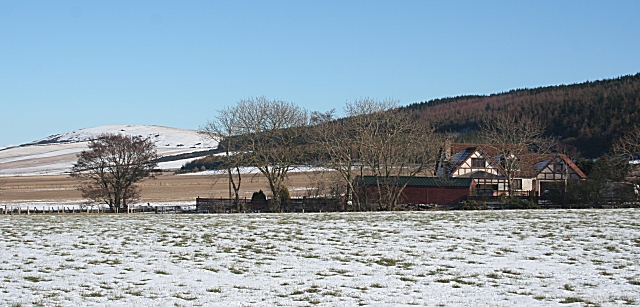
Image: © Anne Burgess Taken: 23 Feb 2010
The half-timbered effect is unusual in this area. In the background is Durn Hill.
Images are licensed for reuse under creativecommons.org/licenses/by-sa/2.0
Image Location
Latitude
57.65113
Longitude
-2.757475