Fields near Muirake
Introduction
The photograph on this page of Fields near Muirake by Anne Burgess as part of the Geograph project.
The Geograph project started in 2005 with the aim of publishing, organising and preserving representative images for every square kilometre of Great Britain, Ireland and the Isle of Man.

There are currently over 7.5m images from over 14,400 individuals and you can help contribute to the project by visiting https://www.geograph.org.uk
Fields near Muirake
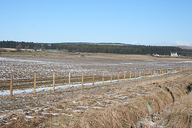
Image: © Anne Burgess Taken: 23 Feb 2010
This is quite a difficult square, because it has few prominent features. The infant Burn of Boyne runs through the low part of the square. The buildings in the distance are at South Canterbury, in the next square.
Images are licensed for reuse under creativecommons.org/licenses/by-sa/2.0
Image Location
Latitude
57.616439
Longitude
-2.72997