Claymires
Introduction
The photograph on this page of Claymires by Anne Burgess as part of the Geograph project.
The Geograph project started in 2005 with the aim of publishing, organising and preserving representative images for every square kilometre of Great Britain, Ireland and the Isle of Man.

There are currently over 7.5m images from over 14,400 individuals and you can help contribute to the project by visiting https://www.geograph.org.uk
Claymires
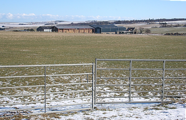
Image: © Anne Burgess Taken: 23 Feb 2010
Looking towards Claymires from the B9022, in the next square. Most of the foreground field is in the photographer's square.
Images are licensed for reuse under creativecommons.org/licenses/by-sa/2.0
Image Location
Latitude
57.609131
Longitude
-2.71995