Towards Penwaun, frost damage
Introduction
The photograph on this page of Towards Penwaun, frost damage by Marion Phillips as part of the Geograph project.
The Geograph project started in 2005 with the aim of publishing, organising and preserving representative images for every square kilometre of Great Britain, Ireland and the Isle of Man.

There are currently over 7.5m images from over 14,400 individuals and you can help contribute to the project by visiting https://www.geograph.org.uk
Towards Penwaun, frost damage
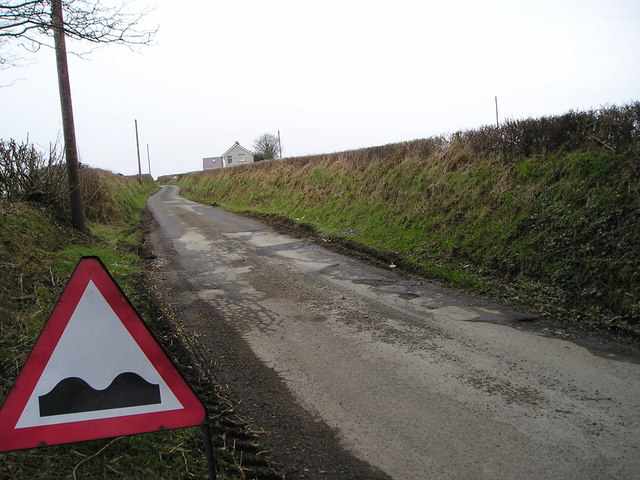
Image: © Marion Phillips Taken: 23 Feb 2010
Extremely cold weather a month in January 2010 has damaged this road. Water has seeped into hairline cracks and expanded as it froze. This can be seen on the left while on the right, potholes are already developing. This is the same process as causes frost erosion in cliffs.
Images are licensed for reuse under creativecommons.org/licenses/by-sa/2.0
Image Location


Leaflet Map data © OpenStreetMap
Latitude
52.03571
Longitude
-4.487537