Junction of Butt Lane and Dogden Lane Manuden
Introduction
The photograph on this page of Junction of Butt Lane and Dogden Lane Manuden by Brian Chadwick as part of the Geograph project.
The Geograph project started in 2005 with the aim of publishing, organising and preserving representative images for every square kilometre of Great Britain, Ireland and the Isle of Man.

There are currently over 7.5m images from over 14,400 individuals and you can help contribute to the project by visiting https://www.geograph.org.uk
Junction of Butt Lane and Dogden Lane Manuden
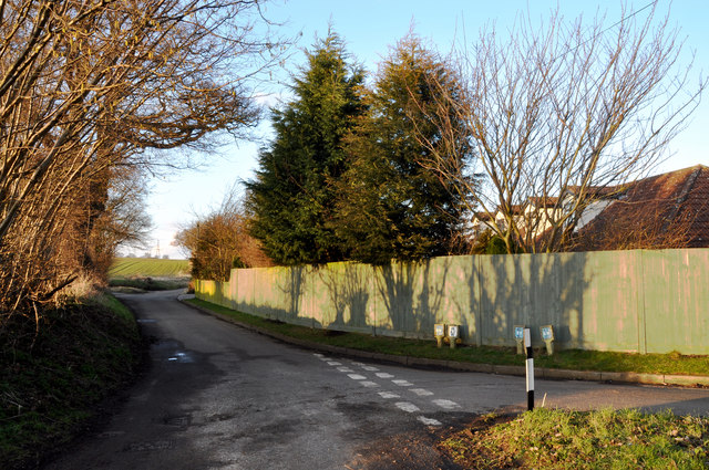
Image: © Brian Chadwick Taken: 20 Feb 2010
Turning right at the junction, Butt Lane continues a further 50 yards to the junction with Sheepcote Lane ( as shown in the photograph ) and then turns left into a no-through road. The remaining houses in Butt Lane are identified on a noticeboard but this extension of Butt Lane is confusing to delivery drivers who do not know the area.
Images are licensed for reuse under creativecommons.org/licenses/by-sa/2.0
Image Location
Latitude
51.920926
Longitude
0.157395