Lea Marshes
Introduction
The photograph on this page of Lea Marshes by Richard Croft as part of the Geograph project.
The Geograph project started in 2005 with the aim of publishing, organising and preserving representative images for every square kilometre of Great Britain, Ireland and the Isle of Man.

There are currently over 7.5m images from over 14,400 individuals and you can help contribute to the project by visiting https://www.geograph.org.uk
Lea Marshes
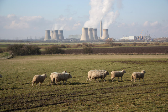
Image: © Richard Croft Taken: 20 Feb 2010
Sheep grazing near Knaith with West Burton power station in the distance
Images are licensed for reuse under creativecommons.org/licenses/by-sa/2.0
Image Location


Leaflet Map data © OpenStreetMap
Latitude
53.356439
Longitude
-0.761471