Bournemouth : Winton - Maple Road
Introduction
The photograph on this page of Bournemouth : Winton - Maple Road by Lewis Clarke as part of the Geograph project.
The Geograph project started in 2005 with the aim of publishing, organising and preserving representative images for every square kilometre of Great Britain, Ireland and the Isle of Man.

There are currently over 7.5m images from over 14,400 individuals and you can help contribute to the project by visiting https://www.geograph.org.uk
Bournemouth : Winton - Maple Road
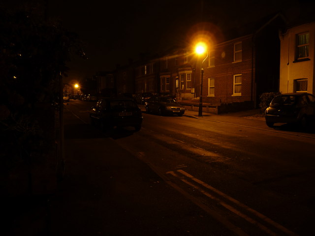
Image: © Lewis Clarke Taken: 19 Feb 2010
There was hardly any light along Maple Road - if you struggle to see the detail, move your laptop monitor up slightly and you should see the detail.
Images are licensed for reuse under creativecommons.org/licenses/by-sa/2.0
Image Location
Latitude
50.743925
Longitude
-1.880187