Obelisk, Bridgwater
Introduction
The photograph on this page of Obelisk, Bridgwater by Derek Harper as part of the Geograph project.
The Geograph project started in 2005 with the aim of publishing, organising and preserving representative images for every square kilometre of Great Britain, Ireland and the Isle of Man.

There are currently over 7.5m images from over 14,400 individuals and you can help contribute to the project by visiting https://www.geograph.org.uk
Obelisk, Bridgwater
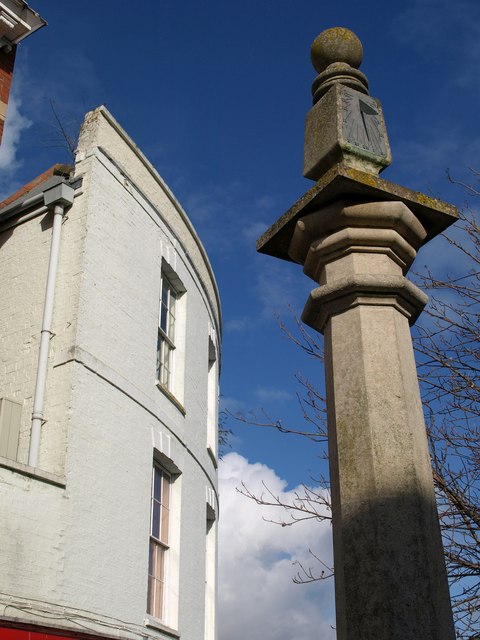
Image: © Derek Harper Taken: 15 Feb 2010
Details of this obelisk, erected in 1989, with a sundial and stone ball, are at http://www.pmsa.org.uk/pmsa-database/14343/ . This mentions a copper cross on the summit, which seems to have vanished, and says that the work replaces "an old market cross, possibly the old Pig Cross, that used to stand near the present situation".
Images are licensed for reuse under creativecommons.org/licenses/by-sa/2.0
Image Location
Latitude
51.128792
Longitude
-3.001715