Ruskin Avenue/Ribblesdale Road junction
Introduction
The photograph on this page of Ruskin Avenue/Ribblesdale Road junction by Garth Newton as part of the Geograph project.
The Geograph project started in 2005 with the aim of publishing, organising and preserving representative images for every square kilometre of Great Britain, Ireland and the Isle of Man.

There are currently over 7.5m images from over 14,400 individuals and you can help contribute to the project by visiting https://www.geograph.org.uk
Ruskin Avenue/Ribblesdale Road junction
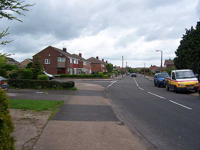
Image: © Garth Newton Taken: 18 May 2006
This shows the main spine of the estate that was the first to be developed in the latter half of the 20th century. Newer properties have since been built off Ribblesdale Road to the left.
Images are licensed for reuse under creativecommons.org/licenses/by-sa/2.0
Image Location
Latitude
52.887865
Longitude
-1.295499