Ruskin Avenue
Introduction
The photograph on this page of Ruskin Avenue by Garth Newton as part of the Geograph project.
The Geograph project started in 2005 with the aim of publishing, organising and preserving representative images for every square kilometre of Great Britain, Ireland and the Isle of Man.

There are currently over 7.5m images from over 14,400 individuals and you can help contribute to the project by visiting https://www.geograph.org.uk
Ruskin Avenue
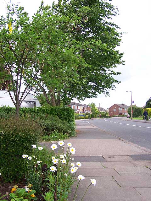
Image: © Garth Newton Taken: 18 May 2006
In the 1940s there were a number of roads only about 100 yards long, off Wilsthorpe Road. Since then the M1 motorway has been constructed to the west and in the latter half of the last century those short roads were extended and linked resulting in a large housing estate now filling the intervening area. Trees and flowers in the gardens are now softening the landscape and giving the estate a more mature feel.
Images are licensed for reuse under creativecommons.org/licenses/by-sa/2.0
Image Location
Latitude
52.887874
Longitude
-1.296985