Kenfig Industrial Estate
Introduction
The photograph on this page of Kenfig Industrial Estate by Chris Shaw as part of the Geograph project.
The Geograph project started in 2005 with the aim of publishing, organising and preserving representative images for every square kilometre of Great Britain, Ireland and the Isle of Man.

There are currently over 7.5m images from over 14,400 individuals and you can help contribute to the project by visiting https://www.geograph.org.uk
Kenfig Industrial Estate
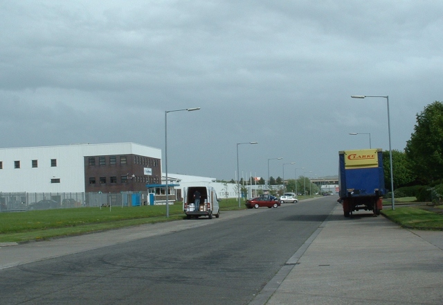
Image: © Chris Shaw Taken: Unknown
Looking SE down the main artery of the Estate that occupies the Eastern half of the square
Images are licensed for reuse under creativecommons.org/licenses/by-sa/2.0
Image Location


Leaflet Map data © OpenStreetMap
Latitude
51.536666
Longitude
-3.734464