East Greendykes
Introduction
The photograph on this page of East Greendykes by Anne Burgess as part of the Geograph project.
The Geograph project started in 2005 with the aim of publishing, organising and preserving representative images for every square kilometre of Great Britain, Ireland and the Isle of Man.

There are currently over 7.5m images from over 14,400 individuals and you can help contribute to the project by visiting https://www.geograph.org.uk
East Greendykes
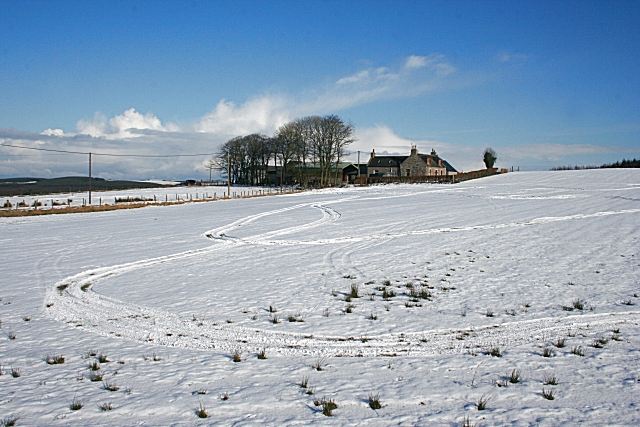
Image: © Anne Burgess Taken: 22 Feb 2010
A solid traditional house and buildings, sited a little way from the road. Someone has been enjoying driving around in the snow-covered field in front, probably on a quad bike.
Images are licensed for reuse under creativecommons.org/licenses/by-sa/2.0
Image Location
Latitude
57.590137
Longitude
-2.678593