Barley Village Hall
Introduction
The photograph on this page of Barley Village Hall by michael ely as part of the Geograph project.
The Geograph project started in 2005 with the aim of publishing, organising and preserving representative images for every square kilometre of Great Britain, Ireland and the Isle of Man.

There are currently over 7.5m images from over 14,400 individuals and you can help contribute to the project by visiting https://www.geograph.org.uk
Barley Village Hall
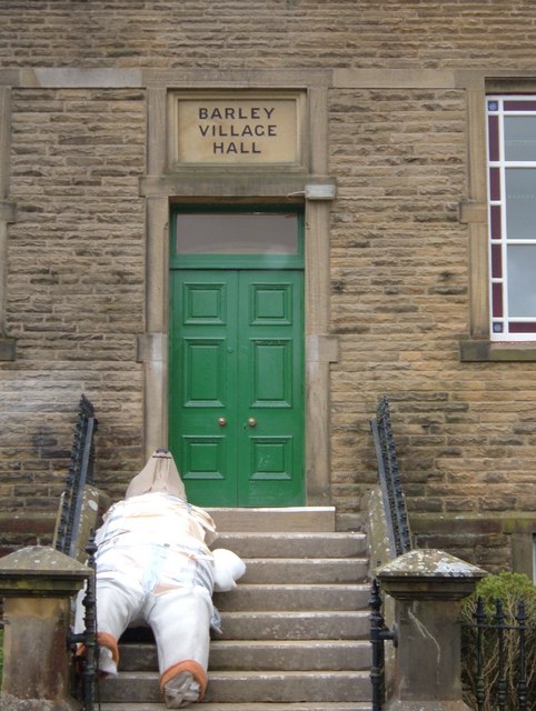
Image: © michael ely Taken: 19 May 2006
Steps leading up to the front door with a strange mummified thing outside waiting to be unwrapped. What is it? It might be spoooooky, Barley is in the middle of Pendle witch territory.
Images are licensed for reuse under creativecommons.org/licenses/by-sa/2.0
Image Location


Leaflet Map data © OpenStreetMap
Latitude
53.858615
Longitude
-2.27211