Footbridge on the Greensand Way near Pound Lane
Introduction
The photograph on this page of Footbridge on the Greensand Way near Pound Lane by David Anstiss as part of the Geograph project.
The Geograph project started in 2005 with the aim of publishing, organising and preserving representative images for every square kilometre of Great Britain, Ireland and the Isle of Man.

There are currently over 7.5m images from over 14,400 individuals and you can help contribute to the project by visiting https://www.geograph.org.uk
Footbridge on the Greensand Way near Pound Lane
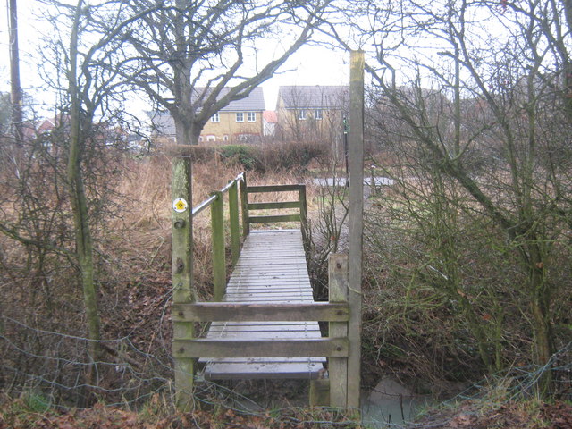
Image: © David Anstiss Taken: 21 Feb 2010
The long distance path heads from Court Lodge Farm fields towards the lane. It crosses over a deep field ditch that leads into the East Stour.
Images are licensed for reuse under creativecommons.org/licenses/by-sa/2.0
Image Location
Latitude
51.12178
Longitude
0.851796