Long Length Roundabout
Introduction
The photograph on this page of Long Length Roundabout by David Anstiss as part of the Geograph project.
The Geograph project started in 2005 with the aim of publishing, organising and preserving representative images for every square kilometre of Great Britain, Ireland and the Isle of Man.

There are currently over 7.5m images from over 14,400 individuals and you can help contribute to the project by visiting https://www.geograph.org.uk
Long Length Roundabout
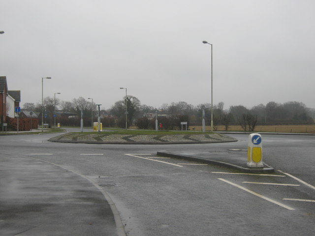
Image: © David Anstiss Taken: 21 Feb 2010
Merino Way heads straight on to a close of houses. Long Length heads left to Chart Road or right to Magpie Hall Lane near Stubb's Cross.
Images are licensed for reuse under creativecommons.org/licenses/by-sa/2.0
Image Location
Latitude
51.125132
Longitude
0.847143