Herluin Way Roundabout
Introduction
The photograph on this page of Herluin Way Roundabout by Ant Basterfield as part of the Geograph project.
The Geograph project started in 2005 with the aim of publishing, organising and preserving representative images for every square kilometre of Great Britain, Ireland and the Isle of Man.

There are currently over 7.5m images from over 14,400 individuals and you can help contribute to the project by visiting https://www.geograph.org.uk
Herluin Way Roundabout
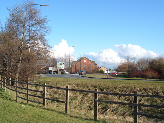
Image: © Ant Basterfield Taken: 20 Feb 2010
Here's the Weston Super Mare relief road, built to take the main traffic away from the Locking road
Images are licensed for reuse under creativecommons.org/licenses/by-sa/2.0
Image Location
Latitude
51.34645
Longitude
-2.941842