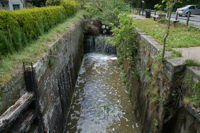
Lock no. 12 at Terryhoogan, Scarva, disused Newry Canal
Introduction
The photograph on this page of Lock no. 12 at Terryhoogan, Scarva, disused Newry Canal by Albert Bridge as part of the Geograph project.
The Geograph project started in 2005 with the aim of publishing, organising and preserving representative images for every square kilometre of Great Britain, Ireland and the Isle of Man.
There are currently over 7.5m images from over 14,400 individuals and you can help contribute to the project by visiting https://www.geograph.org.uk

Image: © Albert Bridge Taken: 19 May 2006
The Newry canal connected Lough Neagh (via the River Bann) to the town of Newry and then through the Newry ship canal to Carlingford Lough and the Irish Sea. The canal opened in 1742, had become largely derelict by 1939 and was formally abandoned in 1949. It is now overgrown for most of its length and, despite much discussion, shows no sign of being re-opened for recreational use. The tow path has been restored for walkers and cyclists.

