Clase
Introduction
The photograph on this page of Clase by Kevin Flynn as part of the Geograph project.
The Geograph project started in 2005 with the aim of publishing, organising and preserving representative images for every square kilometre of Great Britain, Ireland and the Isle of Man.

There are currently over 7.5m images from over 14,400 individuals and you can help contribute to the project by visiting https://www.geograph.org.uk
Clase
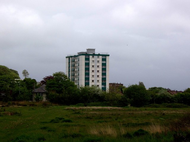
Image: © Kevin Flynn Taken: 18 May 2006
Tower block at Clase, near Morriston, Swansea. Seen from the western edge of the grid square, looking across Mynydd-bach common.
Images are licensed for reuse under creativecommons.org/licenses/by-sa/2.0
Image Location
Latitude
51.662766
Longitude
-3.950384