Tumbledown Close, Catterick Garrison
Introduction
The photograph on this page of Tumbledown Close, Catterick Garrison by Oliver Dixon as part of the Geograph project.
The Geograph project started in 2005 with the aim of publishing, organising and preserving representative images for every square kilometre of Great Britain, Ireland and the Isle of Man.

There are currently over 7.5m images from over 14,400 individuals and you can help contribute to the project by visiting https://www.geograph.org.uk
Tumbledown Close, Catterick Garrison
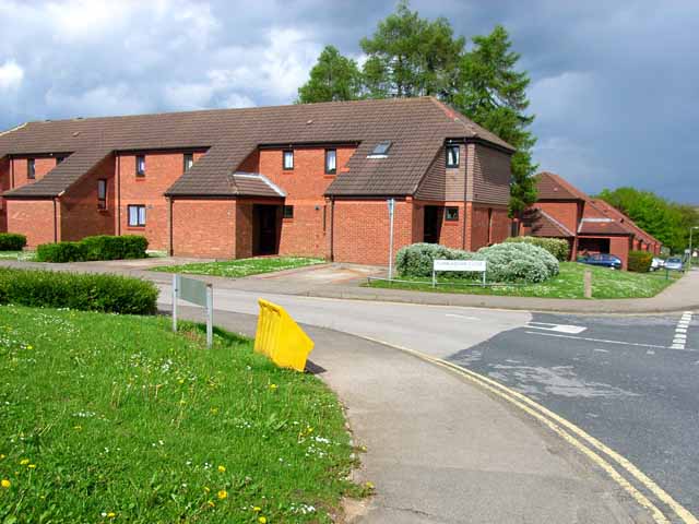
Image: © Oliver Dixon Taken: 18 May 2006
Hopefully, this road is named after the British army victory in the Falklands, not after the quality of the buildings! I am fairly sure that this is on the site of the old 7 Training Regiment, Royal Signals, housed in "spiders" where I languished during basic training in my National Service in 1955.
Images are licensed for reuse under creativecommons.org/licenses/by-sa/2.0
Image Location
Latitude
54.360982
Longitude
-1.712198