Parish Boundary Stone
Introduction
The photograph on this page of Parish Boundary Stone by Rick Crowley as part of the Geograph project.
The Geograph project started in 2005 with the aim of publishing, organising and preserving representative images for every square kilometre of Great Britain, Ireland and the Isle of Man.

There are currently over 7.5m images from over 14,400 individuals and you can help contribute to the project by visiting https://www.geograph.org.uk
Parish Boundary Stone
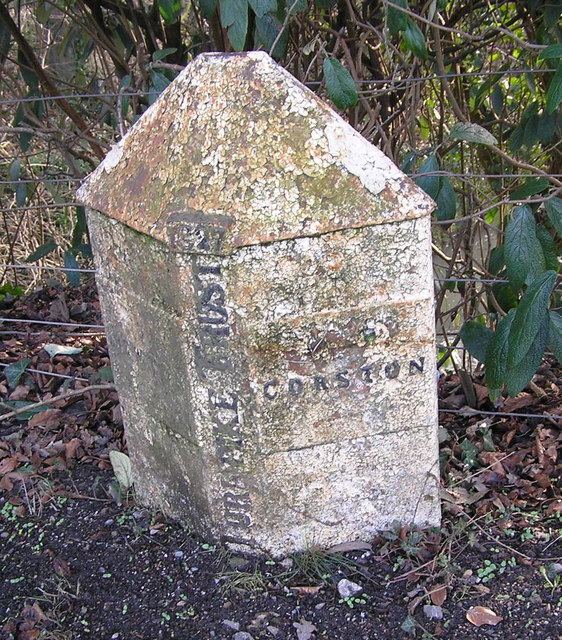
Image: © Rick Crowley Taken: 21 Feb 2010
The Bath Turnpike's Newton/Corston Parish Boundary Stone. The Turnpike Act stated that boundary stones were to be erected where a parish boundary crossed a Turnpike road.
Images are licensed for reuse under creativecommons.org/licenses/by-sa/2.0
Image Location
Latitude
51.385475
Longitude
-2.437955