Houses in Downpatrick Street, Rathfriland
Introduction
The photograph on this page of Houses in Downpatrick Street, Rathfriland by Eric Jones as part of the Geograph project.
The Geograph project started in 2005 with the aim of publishing, organising and preserving representative images for every square kilometre of Great Britain, Ireland and the Isle of Man.

There are currently over 7.5m images from over 14,400 individuals and you can help contribute to the project by visiting https://www.geograph.org.uk
Houses in Downpatrick Street, Rathfriland
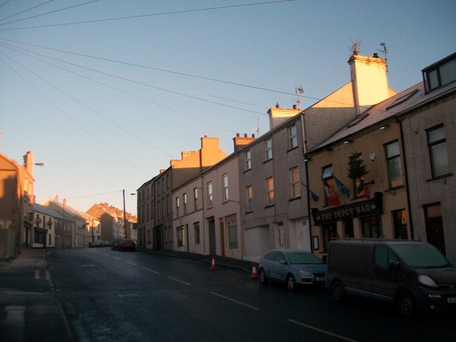
Image: © Eric Jones Taken: 20 Feb 2010
Rathfriland, a plantation town, stands on a hill facing the northern flank of the Mountains of Mourne. It is located on the distinct geographical fracture zone separating the two cultures in Northern Ireland. Rathfriland and the areas north and east of it are overwhelmingly Protestant and Loyalist. Southwards from the town, both the rural areas and urban centres are overwhelmingly Catholic and Nationalist. Its nearest neighbour, Hilltown, three miles away is 97 per cent Catholic and Nationalist, and the nearby city of Newry has a 9:1 Catholic majority. Rathfriland has a reputation for staunch Loyalism and is home to the Pride of the Hill Marching Band. http://www.poth.co.uk/
Images are licensed for reuse under creativecommons.org/licenses/by-sa/2.0
Image Location
Latitude
54.236301
Longitude
-6.157413