Footbridge over Rubislaw burn
Introduction
The photograph on this page of Footbridge over Rubislaw burn by Ewen Rennie as part of the Geograph project.
The Geograph project started in 2005 with the aim of publishing, organising and preserving representative images for every square kilometre of Great Britain, Ireland and the Isle of Man.

There are currently over 7.5m images from over 14,400 individuals and you can help contribute to the project by visiting https://www.geograph.org.uk
Footbridge over Rubislaw burn
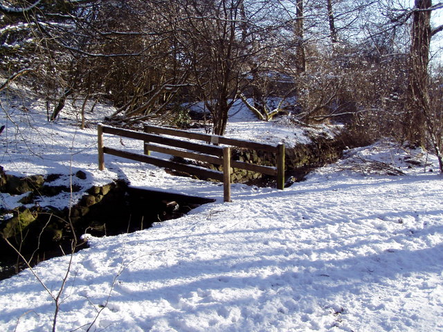
Image: © Ewen Rennie Taken: 21 Feb 2010
From the back of Johnston Gardens there is a footpath up to the Craigiebuckler estate.
Images are licensed for reuse under creativecommons.org/licenses/by-sa/2.0
Image Location
Latitude
57.13797
Longitude
-2.153639