House Field
Introduction
The photograph on this page of House Field by Simon Carey as part of the Geograph project.
The Geograph project started in 2005 with the aim of publishing, organising and preserving representative images for every square kilometre of Great Britain, Ireland and the Isle of Man.

There are currently over 7.5m images from over 14,400 individuals and you can help contribute to the project by visiting https://www.geograph.org.uk
House Field
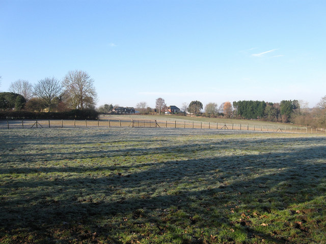
Image: © Simon Carey Taken: 20 Feb 2010
The name of the field according to the 1838 tithe map. The field was once much larger but has lost pieces to houses and their gardens as well as being subdivided into smaller plots. The two houses in the distance are Old Acre and Silverdale.
Images are licensed for reuse under creativecommons.org/licenses/by-sa/2.0
Image Location
Latitude
50.834683
Longitude
0.297227