Primary School
Introduction
The photograph on this page of Primary School by Ant Basterfield as part of the Geograph project.
The Geograph project started in 2005 with the aim of publishing, organising and preserving representative images for every square kilometre of Great Britain, Ireland and the Isle of Man.

There are currently over 7.5m images from over 14,400 individuals and you can help contribute to the project by visiting https://www.geograph.org.uk
Primary School
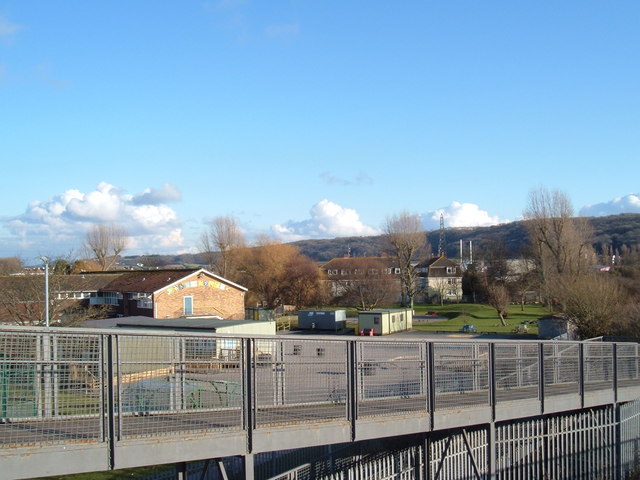
Image: © Ant Basterfield Taken: 20 Feb 2010
Here is a view from the Windwhistle Lane footbridge looking at the school and part of the housing estate that surrounds it, Hay wood and Bleadon Hill seen in the distance.
Images are licensed for reuse under creativecommons.org/licenses/by-sa/2.0
Image Location
Latitude
51.329533
Longitude
-2.965465