Access track to Barnaby Grange Farm
Introduction
The photograph on this page of Access track to Barnaby Grange Farm by Philip Barker as part of the Geograph project.
The Geograph project started in 2005 with the aim of publishing, organising and preserving representative images for every square kilometre of Great Britain, Ireland and the Isle of Man.

There are currently over 7.5m images from over 14,400 individuals and you can help contribute to the project by visiting https://www.geograph.org.uk
Access track to Barnaby Grange Farm
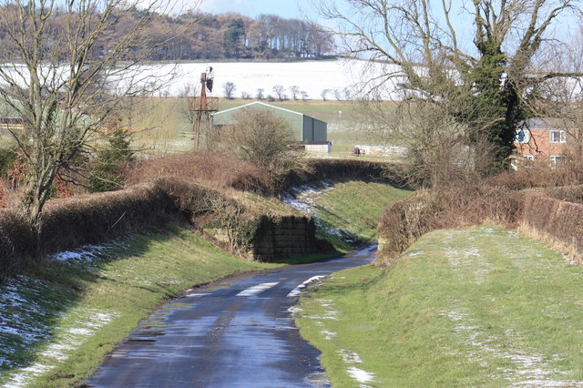
Image: © Philip Barker Taken: 20 Feb 2010
This photograph shows a view of the access track to Barnaby Grange Farm from near the A171 dual carriageway and roundabout at Windy Hill. The remains of the stone bridge show where the old railway (now dismantled) crossed over the access track. The snow-covered hill in the background is part of Barnaby Side. The picture was taken looking in a northerly direction towards High Barnaby Farm.
Images are licensed for reuse under creativecommons.org/licenses/by-sa/2.0
Image Location


Leaflet Map data © OpenStreetMap
Latitude
54.534241
Longitude
-1.103793