Mains of Findrassie
Introduction
The photograph on this page of Mains of Findrassie by Anne Burgess as part of the Geograph project.
The Geograph project started in 2005 with the aim of publishing, organising and preserving representative images for every square kilometre of Great Britain, Ireland and the Isle of Man.

There are currently over 7.5m images from over 14,400 individuals and you can help contribute to the project by visiting https://www.geograph.org.uk
Mains of Findrassie
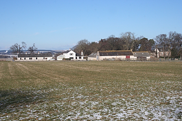
Image: © Anne Burgess Taken: 20 Feb 2010
"The Mains" is the name almost always given to the principal farm on any estate, usually farmed by the laird directly or by a farm manager. They are generally fairly near the 'big hoose', but not right on its doorstep.
Images are licensed for reuse under creativecommons.org/licenses/by-sa/2.0
Image Location


Leaflet Map data © OpenStreetMap
Latitude
57.667457
Longitude
-3.352416