Calcots Bridge
Introduction
The photograph on this page of Calcots Bridge by Anne Burgess as part of the Geograph project.
The Geograph project started in 2005 with the aim of publishing, organising and preserving representative images for every square kilometre of Great Britain, Ireland and the Isle of Man.

There are currently over 7.5m images from over 14,400 individuals and you can help contribute to the project by visiting https://www.geograph.org.uk
Calcots Bridge
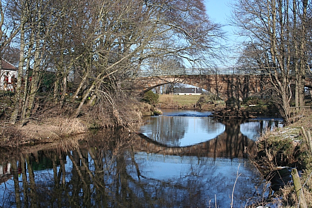
Image: © Anne Burgess Taken: 20 Feb 2010
This elegant two-arched bridge spans a meander of the River Lossie, just upstream of a weir, the effects of which can be seen under the left-hand arch.
Images are licensed for reuse under creativecommons.org/licenses/by-sa/2.0
Image Location
Latitude
57.657442
Longitude
-3.25199