Canal Basin - Langley Mill
Introduction
The photograph on this page of Canal Basin - Langley Mill by Chris Page as part of the Geograph project.
The Geograph project started in 2005 with the aim of publishing, organising and preserving representative images for every square kilometre of Great Britain, Ireland and the Isle of Man.

There are currently over 7.5m images from over 14,400 individuals and you can help contribute to the project by visiting https://www.geograph.org.uk
Canal Basin - Langley Mill
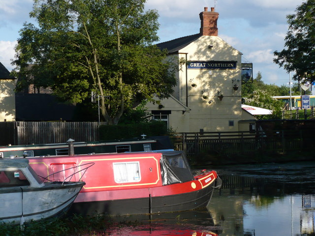
Image: © Chris Page Taken: 17 Aug 2009
This is where the Erewash, Nottingham and Cromford canals met. Of the three, only the Erewash is still navigable in this area - though the Nottingham and Cromford canals are in better states of repair elsewhere.
Images are licensed for reuse under creativecommons.org/licenses/by-sa/2.0
Image Location
Latitude
53.019634
Longitude
-1.323617