Talbot Arms, Stubley Lane
Introduction
The photograph on this page of Talbot Arms, Stubley Lane by Peter Barr as part of the Geograph project.
The Geograph project started in 2005 with the aim of publishing, organising and preserving representative images for every square kilometre of Great Britain, Ireland and the Isle of Man.

There are currently over 7.5m images from over 14,400 individuals and you can help contribute to the project by visiting https://www.geograph.org.uk
Talbot Arms, Stubley Lane
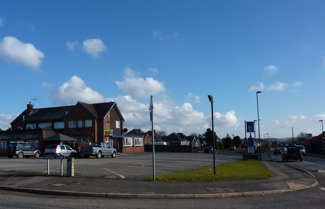
Image: © Peter Barr Taken: 20 Feb 2010
At the junction with Barnes Lane, Dronfield Woodhouse
Images are licensed for reuse under creativecommons.org/licenses/by-sa/2.0
Image Location
Latitude
53.305073
Longitude
-1.494244