Converted barn at Lees Farm, Pyrford
Introduction
The photograph on this page of Converted barn at Lees Farm, Pyrford by David Hawgood as part of the Geograph project.
The Geograph project started in 2005 with the aim of publishing, organising and preserving representative images for every square kilometre of Great Britain, Ireland and the Isle of Man.

There are currently over 7.5m images from over 14,400 individuals and you can help contribute to the project by visiting https://www.geograph.org.uk
Converted barn at Lees Farm, Pyrford
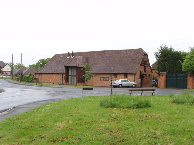
Image: © David Hawgood Taken: 17 May 2006
See Pyrford village website http://www.pyrford.com/history/pyrford.html which says: "Lees Farm Barn (which in 1999 was converted to residential use) on Pyrford Road dates from the early seventeenth century. It has been said that its timbers were from ships of the Spanish Armada."
Images are licensed for reuse under creativecommons.org/licenses/by-sa/2.0
Image Location
Latitude
51.325012
Longitude
-0.501641