Craster: looking up to the Methodist Church
Introduction
The photograph on this page of Craster: looking up to the Methodist Church by John Sutton as part of the Geograph project.
The Geograph project started in 2005 with the aim of publishing, organising and preserving representative images for every square kilometre of Great Britain, Ireland and the Isle of Man.

There are currently over 7.5m images from over 14,400 individuals and you can help contribute to the project by visiting https://www.geograph.org.uk
Craster: looking up to the Methodist Church
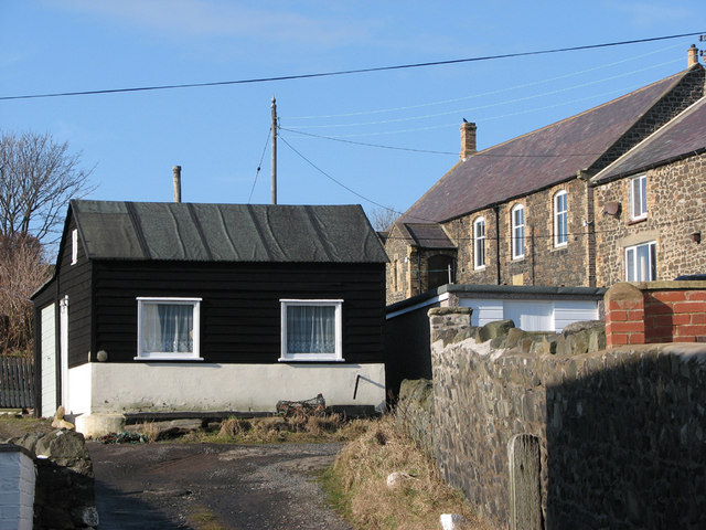
Image: © John Sutton Taken: 17 Feb 2010
The chapel dates from 1880. The Craster Community Website http://www.crastercommunity.org.uk/Churches/Chapel%20100%20Years%20On.htm has an extensive history.
Images are licensed for reuse under creativecommons.org/licenses/by-sa/2.0
Image Location
Latitude
55.473607
Longitude
-1.595319