Outbuildings, East Hope
Introduction
The photograph on this page of Outbuildings, East Hope by Andy Waddington as part of the Geograph project.
The Geograph project started in 2005 with the aim of publishing, organising and preserving representative images for every square kilometre of Great Britain, Ireland and the Isle of Man.

There are currently over 7.5m images from over 14,400 individuals and you can help contribute to the project by visiting https://www.geograph.org.uk
Outbuildings, East Hope
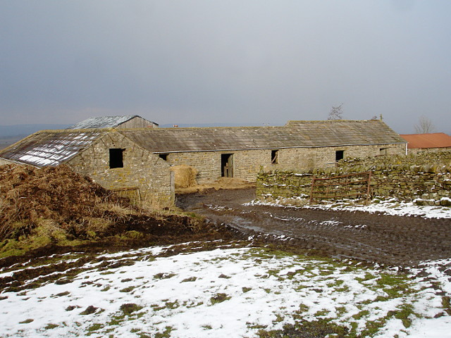
Image: © Andy Waddington Taken: 19 Feb 2010
An L-shaped farm building on the north side of the minor road to East Hope, and at the western limit of the first farm encountered on that road.
Images are licensed for reuse under creativecommons.org/licenses/by-sa/2.0
Image Location
Latitude
54.476255
Longitude
-1.942715