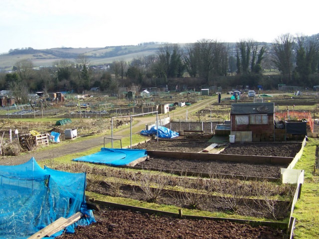
Allotments, Salisbury
Introduction
The photograph on this page of Allotments, Salisbury by Maigheach-gheal as part of the Geograph project.
The Geograph project started in 2005 with the aim of publishing, organising and preserving representative images for every square kilometre of Great Britain, Ireland and the Isle of Man.
There are currently over 7.5m images from over 14,400 individuals and you can help contribute to the project by visiting https://www.geograph.org.uk

Image: © Maigheach-gheal Taken: 19 Feb 2010
Use of land as allotment gardens goes back to before the reign of Elizabeth I, but it was during the World Wars that allotments became really popular with city-dwellers and country people alike. Fresh fruit and vegetables were in short supply, so driven by the government Dig for Victory campaign, townfolk dug up public parks, playing fields and village greens to grow their own.

