Transport systems at Par
Introduction
The photograph on this page of Transport systems at Par by Kate Jewell as part of the Geograph project.
The Geograph project started in 2005 with the aim of publishing, organising and preserving representative images for every square kilometre of Great Britain, Ireland and the Isle of Man.

There are currently over 7.5m images from over 14,400 individuals and you can help contribute to the project by visiting https://www.geograph.org.uk
Transport systems at Par
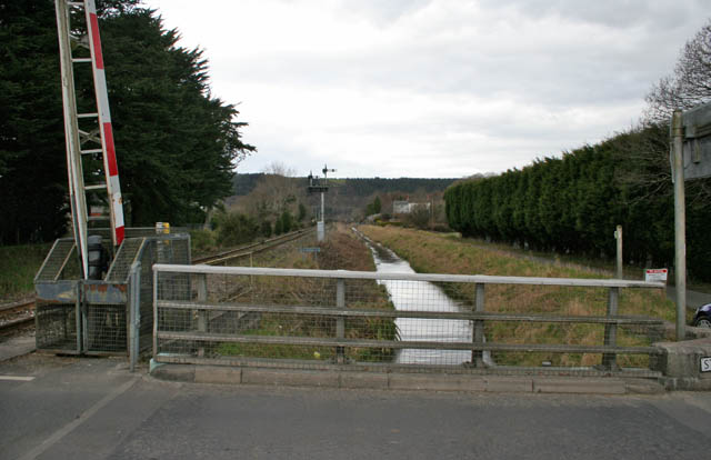
Image: © Kate Jewell Taken: 9 Feb 2010
Historic remnants of an industrial past sit alongside modern transport: an active single track branch line to Newquay, also used to transport china clay slurry, and the obsolete canalised River Par which link the mining and quarrying areas north of St Blazey to the Harbour at Par.
Images are licensed for reuse under creativecommons.org/licenses/by-sa/2.0
Image Location
Latitude
50.358575
Longitude
-4.71189