Sheltered Housing on Castlehill Road
Introduction
The photograph on this page of Sheltered Housing on Castlehill Road by Anne Burgess as part of the Geograph project.
The Geograph project started in 2005 with the aim of publishing, organising and preserving representative images for every square kilometre of Great Britain, Ireland and the Isle of Man.

There are currently over 7.5m images from over 14,400 individuals and you can help contribute to the project by visiting https://www.geograph.org.uk
Sheltered Housing on Castlehill Road
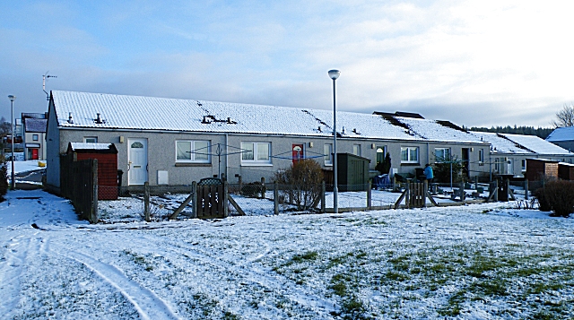
Image: © Anne Burgess Taken: 19 Feb 2010
Castlehill Road is actually behind these cottages in the housing development east of Ordiquish Road.
Images are licensed for reuse under creativecommons.org/licenses/by-sa/2.0
Image Location
Latitude
57.607772
Longitude
-3.096475