Sunken lone
Introduction
The photograph on this page of Sunken lone by Robert Murray as part of the Geograph project.
The Geograph project started in 2005 with the aim of publishing, organising and preserving representative images for every square kilometre of Great Britain, Ireland and the Isle of Man.

There are currently over 7.5m images from over 14,400 individuals and you can help contribute to the project by visiting https://www.geograph.org.uk
Sunken lone
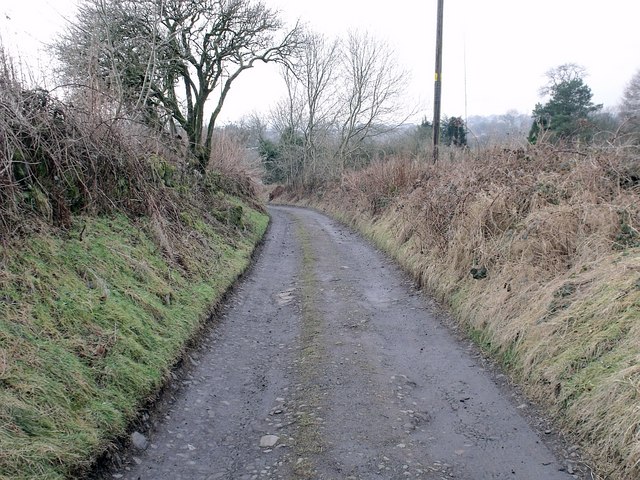
Image: © Robert Murray Taken: 18 Feb 2010
Lone is an old Scots word for lane. We have sunken lones/lanes on hillsides because they were dug out to reduce the gradient and therefore assist the passage of carts on the upward journey.
Images are licensed for reuse under creativecommons.org/licenses/by-sa/2.0
Image Location
Latitude
55.99266
Longitude
-4.00008