Bingland
Introduction
The photograph on this page of Bingland by Robert Murray as part of the Geograph project.
The Geograph project started in 2005 with the aim of publishing, organising and preserving representative images for every square kilometre of Great Britain, Ireland and the Isle of Man.

There are currently over 7.5m images from over 14,400 individuals and you can help contribute to the project by visiting https://www.geograph.org.uk
Bingland
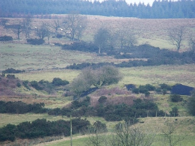
Image: © Robert Murray Taken: 18 Feb 2010
Although only one and part of another is visible in this photograph there are seven almost equally sized small bings (think olympic rings with two extra above the five) in this field N.E. of Binniemyre. All featured on the First Ed. O.S. of 1859 Stirling Sht. XXIX.2. www.nls.uk/maps/os/25inch/view/?sid=74983761 and are typical of small scale early 19th. century mining on the braes of the Kilsyth Hills.
Images are licensed for reuse under creativecommons.org/licenses/by-sa/2.0
Image Location
Latitude
55.995955
Longitude
-3.996402