Sheep near Fitzhead
Introduction
The photograph on this page of Sheep near Fitzhead by Derek Harper as part of the Geograph project.
The Geograph project started in 2005 with the aim of publishing, organising and preserving representative images for every square kilometre of Great Britain, Ireland and the Isle of Man.

There are currently over 7.5m images from over 14,400 individuals and you can help contribute to the project by visiting https://www.geograph.org.uk
Sheep near Fitzhead
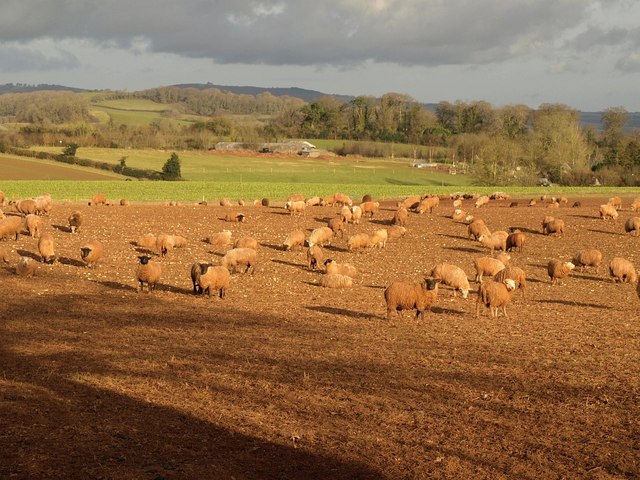
Image: © Derek Harper Taken: 1 Feb 2010
A view looking in the direction between Image and Image The middle distant farm buildings are near Washer's Farm. Behind it, right of centre, is The Plantation, a mixed shelter belt.
Images are licensed for reuse under creativecommons.org/licenses/by-sa/2.0
Image Location


Leaflet Map data © OpenStreetMap
Latitude
51.049751
Longitude
-3.26979