Flooding near Hartburn Beck
Introduction
The photograph on this page of Flooding near Hartburn Beck by Philip Barker as part of the Geograph project.
The Geograph project started in 2005 with the aim of publishing, organising and preserving representative images for every square kilometre of Great Britain, Ireland and the Isle of Man.

There are currently over 7.5m images from over 14,400 individuals and you can help contribute to the project by visiting https://www.geograph.org.uk
Flooding near Hartburn Beck
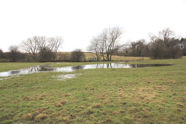
Image: © Philip Barker Taken: 19 Feb 2010
This photograph shows a view of some of the winter flooding that has taken place near Hartburn Beck. The footbridge that carries the public footpath over the beck can be seen in the centre of the image (see here: Image - the bridge has been painted green since this photograph was taken). This picture was taken looking in a south-westerly direction towards Red House and the A66(T) road.
Images are licensed for reuse under creativecommons.org/licenses/by-sa/2.0
Image Location
Latitude
54.551298
Longitude
-1.338267