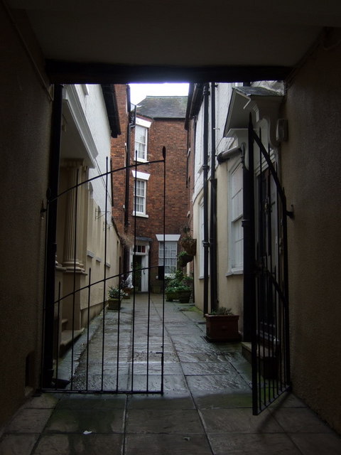
The shuts and passages of Shrewsbury: Dogpole Court
Introduction
The photograph on this page of The shuts and passages of Shrewsbury: Dogpole Court by Natasha Ceridwen de Chroustchoff as part of the Geograph project.
The Geograph project started in 2005 with the aim of publishing, organising and preserving representative images for every square kilometre of Great Britain, Ireland and the Isle of Man.
There are currently over 7.5m images from over 14,400 individuals and you can help contribute to the project by visiting https://www.geograph.org.uk

Image: © Natasha Ceridwen de Chroustchoff Taken: 4 Feb 2010
Shrewsbury retains a number of 'shuts' or alleyways which provide convenient shortcuts and which enable pedestrians to get around the centre of the town in an almost bygone world behind and between the busy shopping streets. These narrow passages date back to the Middle Ages when the town must have been a veritable rabbit warren: many have disappeared in the course of redevelopment and those that remain deserve to be preserved. The origin of the name is obscure but, it has been suggested that, unlike closed cul-de sacs, these alleys, being open both ends, allow the pedestrian to 'shoot' rapidly from one street to another. 'Shut' could also be a contraction of 'shortcut' which is what it usually is! Dogpole Court, off Wyle Cop near its junction with the street called Dogpole, is no longer a public accessible shut and may in fact be a closed passage.

