The Blacksmith's Arms
Introduction
The photograph on this page of The Blacksmith's Arms by Keith Edkins as part of the Geograph project.
The Geograph project started in 2005 with the aim of publishing, organising and preserving representative images for every square kilometre of Great Britain, Ireland and the Isle of Man.

There are currently over 7.5m images from over 14,400 individuals and you can help contribute to the project by visiting https://www.geograph.org.uk
The Blacksmith's Arms
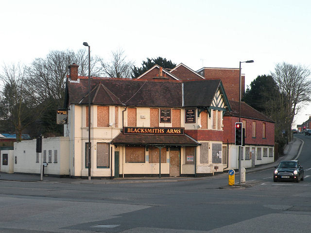
Image: © Keith Edkins Taken: 17 Feb 2010
Pub on the junction of Winchester Road and Shirley High Street is closed, like its near neighbour the Image
Images are licensed for reuse under creativecommons.org/licenses/by-sa/2.0
Image Location
Latitude
50.926189
Longitude
-1.44149