Woodward Close and footpath
Introduction
The photograph on this page of Woodward Close and footpath by don cload as part of the Geograph project.
The Geograph project started in 2005 with the aim of publishing, organising and preserving representative images for every square kilometre of Great Britain, Ireland and the Isle of Man.

There are currently over 7.5m images from over 14,400 individuals and you can help contribute to the project by visiting https://www.geograph.org.uk
Woodward Close and footpath
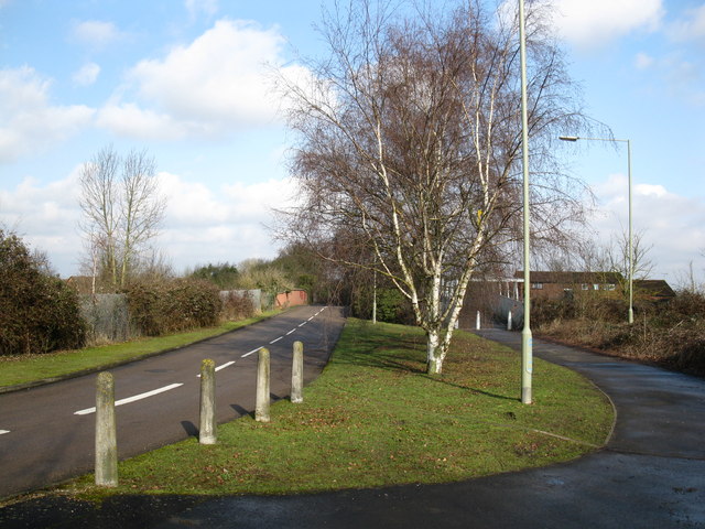
Image: © don cload Taken: 19 Feb 2010
The road and the footpath have separate bridges here over the railway. Woodward Close is so called because it is a no through road, despite street maps showing it as a continuous road joining Watmore Lane.
Images are licensed for reuse under creativecommons.org/licenses/by-sa/2.0
Image Location
Latitude
51.425968
Longitude
-0.86786