Old Binniemyre farmhouse
Introduction
The photograph on this page of Old Binniemyre farmhouse by Robert Murray as part of the Geograph project.
The Geograph project started in 2005 with the aim of publishing, organising and preserving representative images for every square kilometre of Great Britain, Ireland and the Isle of Man.

There are currently over 7.5m images from over 14,400 individuals and you can help contribute to the project by visiting https://www.geograph.org.uk
Old Binniemyre farmhouse
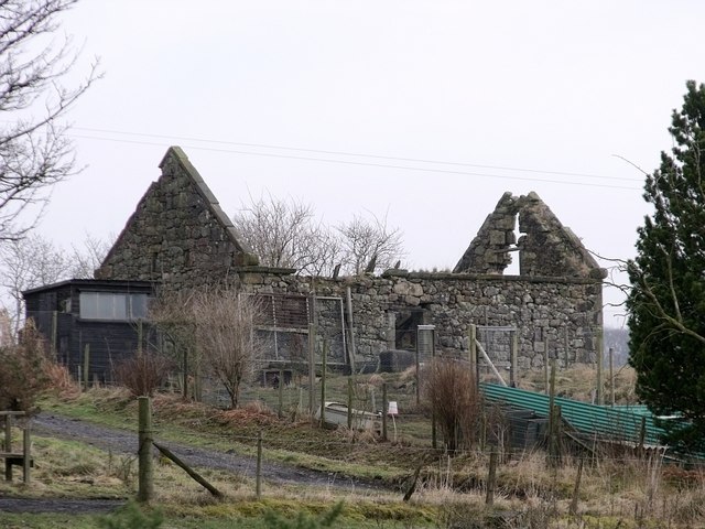
Image: © Robert Murray Taken: 18 Feb 2010
Or 'Boon the Mire' as it was so named on the First Ed. O.S. Stirling Sht. XXIX.2. surveyed in 1859. www.nls.uk/maps/os/25inch/view/?sid=74983761
Images are licensed for reuse under creativecommons.org/licenses/by-sa/2.0
Image Location


Leaflet Map data © OpenStreetMap
Latitude
55.995285
Longitude
-3.998933