Sluice Gate, Thirsk
Introduction
The photograph on this page of Sluice Gate, Thirsk by David Rogers as part of the Geograph project.
The Geograph project started in 2005 with the aim of publishing, organising and preserving representative images for every square kilometre of Great Britain, Ireland and the Isle of Man.

There are currently over 7.5m images from over 14,400 individuals and you can help contribute to the project by visiting https://www.geograph.org.uk
Sluice Gate, Thirsk
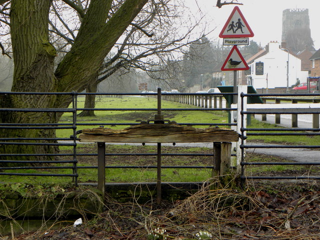
Image: © David Rogers Taken: 18 Feb 2010
One of the last remnants of the Thirsk Mill which was used for milling a variety of materials over time including corn. The mill was shut in the 1960's and the mill race filled in using the rubble from nearby condemned cottages.
Images are licensed for reuse under creativecommons.org/licenses/by-sa/2.0
Image Location
Latitude
54.237327
Longitude
-1.346367